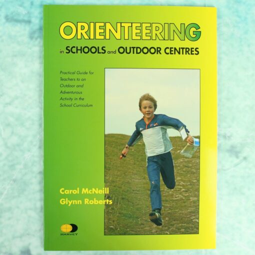
“Orienteering in Schools & Outdoor Centres” book, By Carol McNeill and Glynn Roberts, provides teachers with a very practical guide to orienteering as an outdoor adventure activity in the school curriculum.
‘This book is the best resource currently available for teachers of orienteering as an outdoor and adventurous activity in schools and outdoor centres. It offers best practice based on the authors’ long experience of teaching the sport’. Derek Allison, Director of Coaching, British Orienteering
Includes 16 lesson plans.
Fully illustrated with photos, maps and clear line drawings
The book covers work primarily at:
- Key Stages 1
- Key Stages 2
but teachers will also find guidance for activities at Key Stage 3.
Developed from the 1992 publication ‘Orienteering in the National Curriculum Key Stages 1-3’ by Carol McNeill, Jim Martland and Peter Palmer.
Produced in co-operation with the British Schools Association and British Orienteering, the UK governing body for the sport.
Size A4. 48 pages, paperback. Published September 2009.
HARVEY is a Scottish map publisher based in Doune, Perthshire, founded in 1977 by orienteers. It began by making orienteering maps and went on to publish its well-known walking, hill and fell running maps, alongside a range of navigation teaching materials.
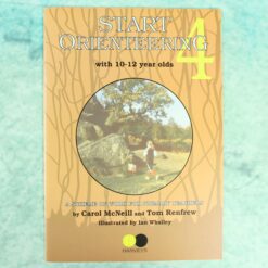
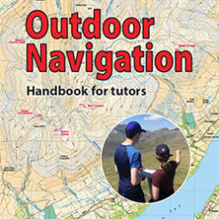
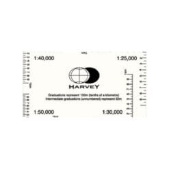
At Compass Point we stock HARVEY's teaching and navigation titles, written for teachers, outdoor tutors and anyone introducing navigation to young people. The Start Orienteering series gives ready-made games and activities by age group, from 8 to 9 year olds up to 10 to 12 year olds. Teaching Navigation and Outdoor Navigation, Handbook for Tutors cover practical ideas for outdoor instructors, and Orienteering in the National Curriculum supports Key Stage 3 and 4 lessons. The HARVEY romer and course template is a handy tool for measuring distances and drawing courses on a map.
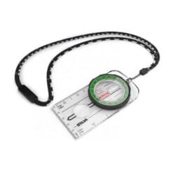
You will find these titles in educational resources. Planning a first session? Pair them with school starter kits and our guide on how to use an orienteering compass.
Schools and clubs ordering several copies can contact us for larger quantities.



Reviews
There are no reviews yet.