
Teaching Navigation by Nigel Williams handbook book cover – practical guide to teaching map reading and navigation skills
Teaching Navigation | Practical ideas for outdoor tutors

£17.50

5 in stock

Add to basket
HARVEY Maps

Teaching Navigation | Practical ideas for outdoor tutors

£17.50

Teaching Navigation by Nigel Williams is a practical handbook for teachers, outdoor instructors and navigation tutors. Updated in 2024, it provides tried-and-tested ideas, simple teaching exercises and structured lesson planning to help develop navigation skills in schools, outdoor centres, youth groups and instructor training.

5 in stock

  • UK delivery from £3.95, free over £100 to UK mainland addresses
  • Secure checkout by card or PayPal
  • New kit and event photos: follow us on Instagram
Guaranteed Safe Checkout
Share your love

Book designed to support navigation instructors at all levels, “Teaching Navigation” By Nigel Williams is an essential handbook for those leading outdoor education, youth programs, and professional training courses. Whether you’re working in schools, colleges, voluntary organizations, or outdoor centers, this book provides clear, structured guidance to help you teach navigation effectively.

Why This Book is a Must-Have:
  • Saves Valuable Preparation Time – Ready-to-use exercises and structured progressions help instructors plan lessons efficiently.
  • Developed by an Expert – Created by Nigel Williams, who spent 20 years as Head of Training at Glenmore Lodge, Scotland’s National Mountain Training Centre.
  • Proven Teaching Methods – Includes tried-and-tested strategies that have helped hundreds of
  • instructors and DofE leaders develop their own navigation skills.
  • Versatile & Practical – Suitable for use in classrooms, school grounds, forests, and mountains, with minimal preparation required.
What’s Inside?
  • Step-by-step teaching progressions – From basic classroom exercises to advanced outdoor navigation.
  • Engaging activities – Simple yet effective exercises designed to work in a variety of learning environments.
  • Structured lesson planning – Guidance on making the most of time, resources, and mapping tools in an educational setting.
  • Rich visual content – Full-colour pages with 55 tables and illustrations to support learning.
Book Details:
  • Size: A4
  • Length: 48 pages
  • Format: Full colour
  • Inside: 55 tables and illustrations
Weight 0.07 kg

Reviews

There are no reviews yet.

Be the first to review “Teaching Navigation | Practical ideas for outdoor tutors”

HARVEY is a Scottish map publisher based in Doune, Perthshire, founded in 1977 by orienteers. It began by making orienteering maps and went on to publish its well-known walking, hill and fell running maps, alongside a range of navigation teaching materials.

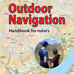
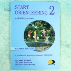
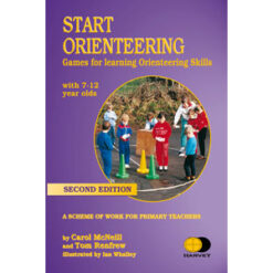
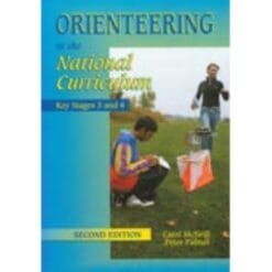
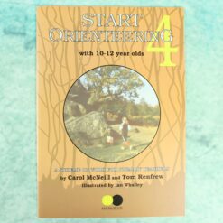
At Compass Point we stock HARVEY's teaching and navigation titles, written for teachers, outdoor tutors and anyone introducing navigation to young people. The Start Orienteering series gives ready-made games and activities by age group, from 8 to 9 year olds up to 10 to 12 year olds. Teaching Navigation and Outdoor Navigation, Handbook for Tutors cover practical ideas for outdoor instructors, and Orienteering in the National Curriculum supports Key Stage 3 and 4 lessons. The HARVEY romer and course template is a handy tool for measuring distances and drawing courses on a map.

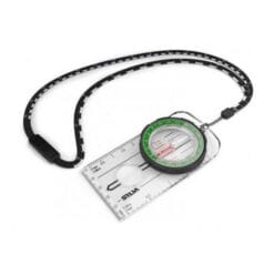
You will find these titles in educational resources. Planning a first session? Pair them with school starter kits and our guide on how to use an orienteering compass.

Schools and clubs ordering several copies can contact us for larger quantities.