
Powerful Map Skills for All Levels
Mastering navigation can be the difference between winning or losing. The Winning Eye reveals the Saint-Étienne method: a map-reading system used by elite orienteers – and now adapted for newcomers, students, coaches, and clubs. Whether you’re racing, training, or teaching, this book arms you with tools to read the map fast and run smart.
Key Features & Highlights
- Introduces the Saint-Étienne Training Method, combining map-reading with strategic “piloting”
- Over 3,000 training sessions underpin the exercises and simulations
- Adaptable for beginners, youth, teachers, and elite orienteers
- Full-colour illustrations, map diagrams, and examples throughout
- Covers sprint, forest, school orienteering contexts
- Exercises and plans are designed for club sessions or self-training
Why You Should Own This
- Gain clarity in visualizing route lines before running
- Train your “orienteering eye” so you make fewer mistakes under pressure
- A valuable resource for coaches and teachers looking to build structured lessons
- Ideal as a companion to your navigation tools: combine theory (this book) with practice (compasses, maps)
Consider these related items to pair with The Winning Eye:
-
Orienteering in the National Curriculum Key Stage 3 & 4 – for school instructors & class planning
-
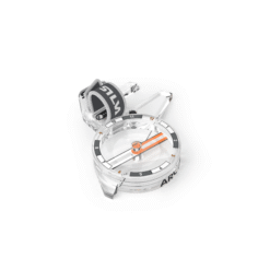
Moscow Thumb Compass / Model 3 / 4 – to apply book principles

Reviews
There are no reviews yet.